Garmin GPS XL12
| Model Number |
XL12 |
| Description |
Handheld GPS unit |
| Materials |
Plastic Case, LCD Screen |
| Dimensions |
15.6 x 5.1 x 3.1 cm |
| Weight |
269g |
| Functions |
5 |
Manufacturers
Description:
When your idea of an outdoor adventure means getting way off the beaten
path, you demand the most of yourself and your equipment. And when the
time comes to head back to civilization, you'll enjoy the peace of mind
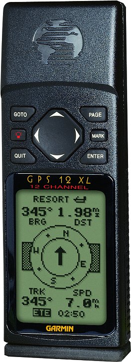
that the Garmin® GPS 12XL has to offer.
The GPS 12XL is all about performance. It features a 12 parallel
channel receiver for amazingly fast satellite aquisition and tight
satellite lock—even under tree cover.
More than just an ultra-reliable receiver, the GPS 12XL is loaded with
navigation information including 106 map datums and 7 grid formats,
plus advanced orienteering features like user datum/UTM/and user grid
formats to define your own map parameters.
Store your position as one of 500 waypoints or add it to any of 20
routes. The proximity waypoint feature gives advanced warning of nearby
hazards, while the position averaging function helps get the best fix
possible.
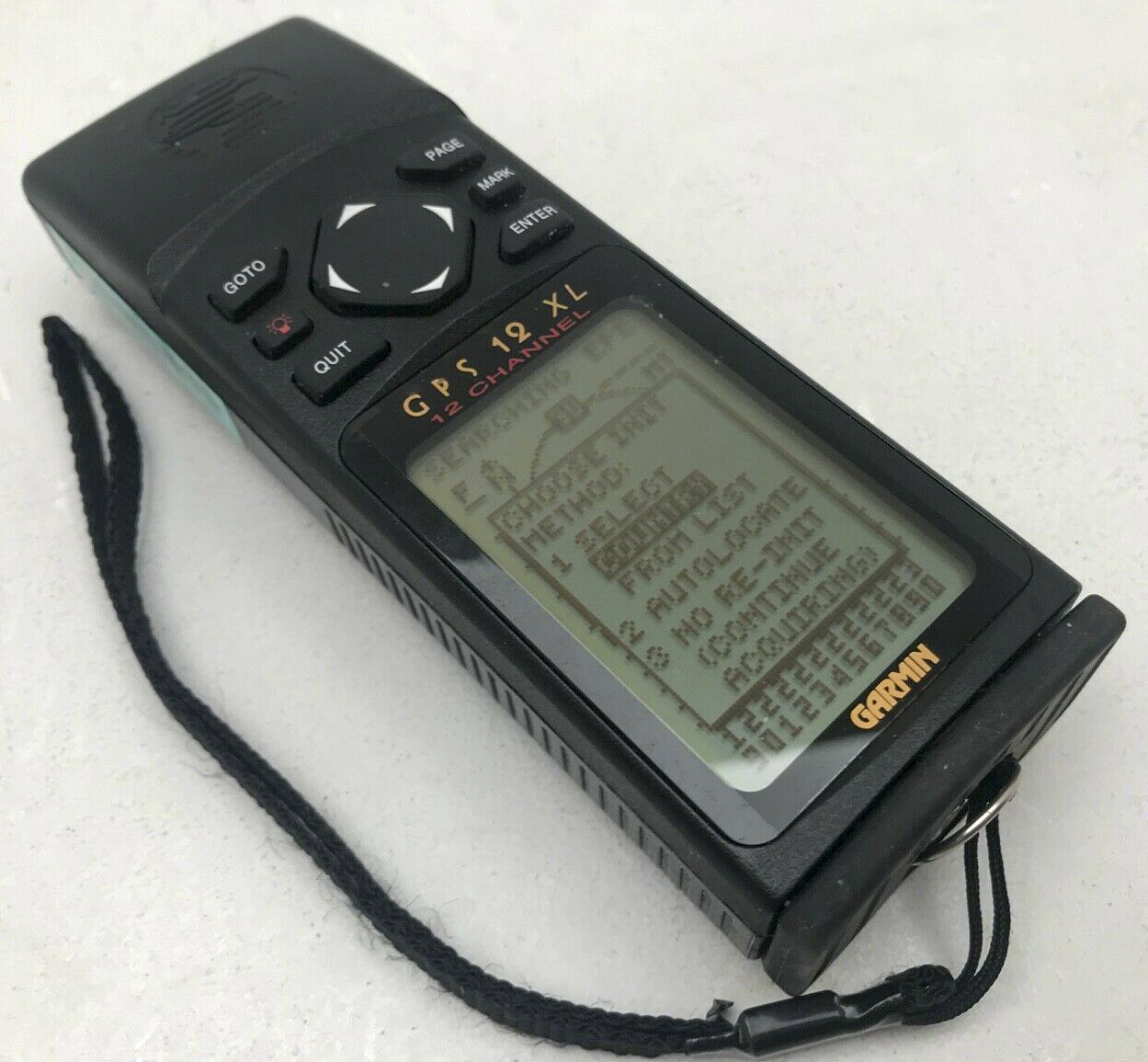
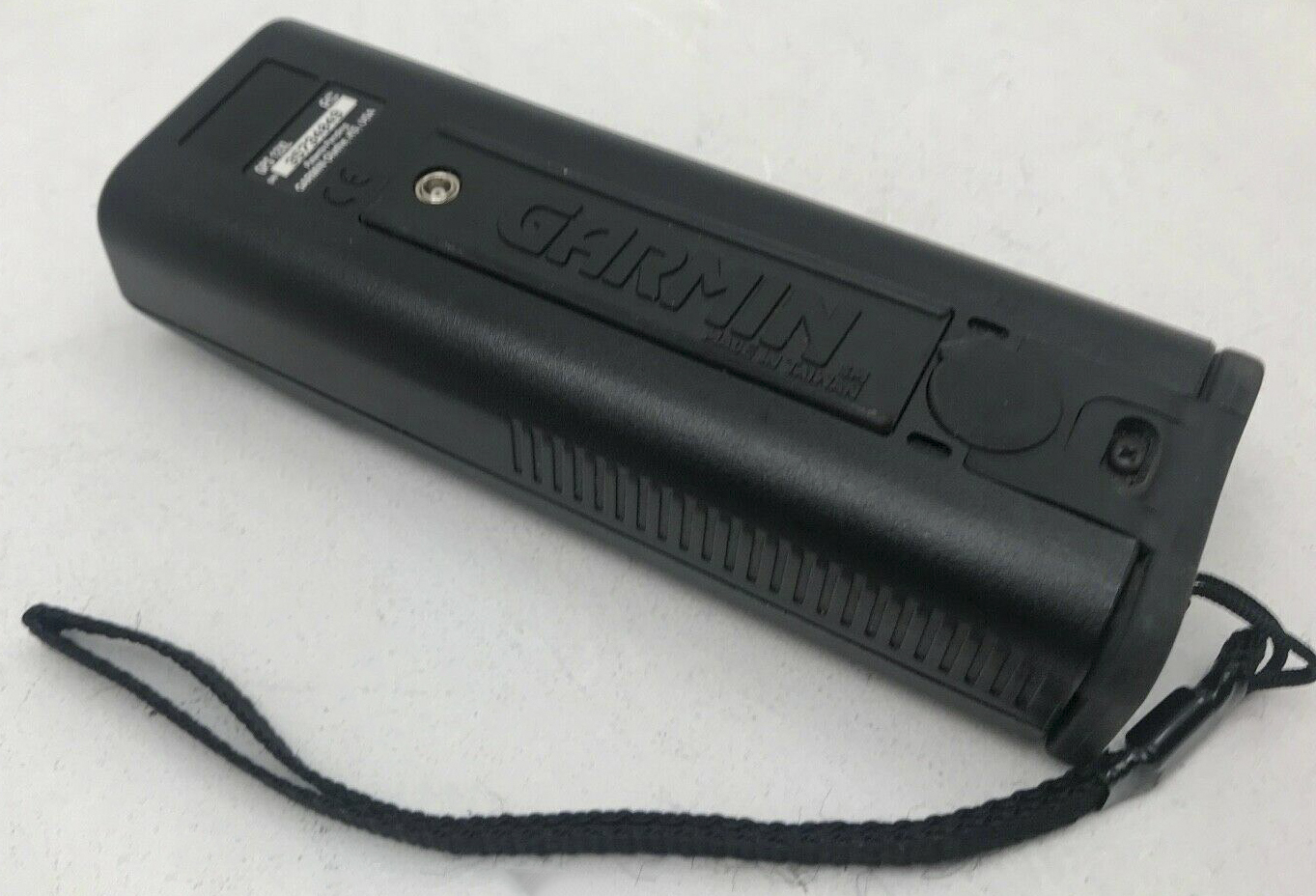
Packed in a rugged case to handle tough conditions, the GPS 12XL uses
an ergonomic rocker keypad for easy one-hand operation and features a
user-friendly operating system to keep you on the move instead of
pushing buttons.
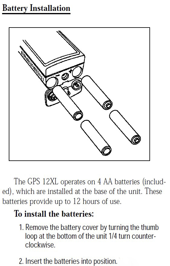
Four AA batteries provide up to 24 hours of use and a variety of
accessories can be added like an external antenna and mounting bracket.
With the GPS 12XL, getting there won't be half the battle—it'll be half the fun.
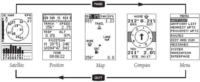
Navigation Features
Waypoints:
Total: 500
Nearest: 9 (automatic)
Proximity: 9
Routes: 20 reversible routes with up to 30 waypoints each, plus MOB and TracBack® modes
TracBack: Automatic track log navigation with 1024 track log points
Map Datums: Over 106 including a User Datum
Coordinates: Lat/Lon, UTM/UPS, MGRS, Loran TDs, plus 7 grids, including Maidenhead and User Grid
Performance
Receiver: Differential-ready 12 parallel channel receiver continuously
tracks and uses up to twelve satellites to compute and update a
position
Acquisition Times:
Warm: approx. 15 seconds
Cold: approx. 45 seconds
Autolocate™: approx. 5 minutes
EZinit: approx. 45 seconds
Update Rate: 1/second, continuous
Accuracy:
Position: 15 meters (49 feet) RMS*
1-5 meters (3-15 feet) RMS with Garmin® GBR 21 DGPS receiver (optional)
Velocity: 0.1 knot RMS steady state
Dynamics: 6g's
Interfaces: NMEA 180, 182, 183 and RTCM 104 DGPS corrections
Antenna: Internal patch
Temp. Range: 5°F to 158°F (-15°C to 70°C)
Physical
Size: 6.15 x 2 x 1.23 inches (15.6 x 5.1 x 3.1 cm)
Weight: 9.5 ounces (269g) w/ batteries
Display: 2.2 x 1.5 inches (5.6 x 3.8 cm) high-contrast LCD w/ electro-luminescent backlighting
Case: Ultrasonically welded
Power
Memory Backup: Internal lithium battery
Power Source: 10-40 VDC (4 AA batteries)
Usage: 1 watt
Battery Life: Up to 24 hours
 130t7vcasio-prg130t7v.htm
PREVIOUS
NEXT
MENU
HOME